 EVERYTHING


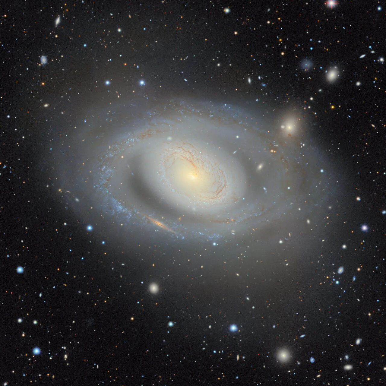
Mapping four billion celestial landmarks across three quarters of the sky
Imagine taking a single ultra-high-resolution photograph of your city, zooming in until you can read the individual license plates on millions of parked cars, and then stitching thousands of those pictures together to cover an entire continent. That is essentially what astronomers achieved on a cosmic scale. Combining 263,407 exposures gathered over 13 years by three major ground-based telescopes in Arizona and Chile, the DESI Legacy Imaging Surveys team assembled a 5.6-trillion-pixel 2D atlas containing nearly four billion individual celestial objects.
The project covers roughly 75% of the night sky in visible and near-infrared wavelengths, purposefully peering past the dusty stellar foreground of our own Milky Way galaxy. Built through international collaboration involving more than 160 researchers, the interactive atlas offers an unhindered look into extragalactic space, cataloging stars, distant galaxy clusters, gravitational lenses, and exploding supernovae.
Three giant observatories merged into a single digital lens
Capturing such an immense expanse required harmonizing instruments across two hemispheres. Rather than relying on a single instrument, the imaging initiative combined three distinct observational surveys:
- The Dark Energy Camera Legacy Survey using the 570-megapixel DECam mounted on the 4-meter Víctor M. Blanco Telescope at Cerro Tololo Inter-American Observatory in Chile.
- The Mayall z-band Legacy Survey conducted with the 4-meter Nicholas U. Mayall Telescope at Kitt Peak National Observatory in Arizona.
- The Beijing-Arizona Sky Survey using the 2.3-meter Bok Telescope at Kitt Peak, supplemented by infrared data from NASA's Wide-field Infrared Survey Explorer satellite.
This multi-telescope approach allowed the team to slice through atmospheric distortion and capture faint objects billions of light-years away. «When you're working with astronomical objects today, you often start by pulling up the Legacy Imaging Viewer to see what you’re looking at,» stated David Schlegel, co-lead of the Legacy Surveys and senior scientist at Lawrence Berkeley National Laboratory.
Targeting dark energy and hints of an evolving universe
While the 2D map works like a gigantic astronomical map of celestial landmarks, its true purpose lies in guiding spectroscopic instruments to build the largest 3D map of cosmic history. By measuring how light stretches across redshift distances, researchers use the catalog to track how dark energy—the enigmatic force accelerating the expansion of space—has acted across cosmic time.
Early observations conducted by the 3D survey revealed an unexpected anomaly: dark energy may not be a static cosmological constant, but could actually be weakening over time. If verified by upcoming data releases through 2028, a dynamic dark energy field would challenge standard physics models, suggesting that the ultimate fate of the universe could differ dramatically from long-held predictions of an eternal freeze.